
Gibraltar Loop and North Granite Ridge Trail, ~18km, rainy day hike 19 July 2015
We have previously hiked most of the Musquodoboit Trailway system except for these two trails. The trail system is located in Musquodoboit Harbour, about a 40 minute drive from Halifax. It is basically linear, with “wilderness” trails meandering through the White Lake Wilderness area along ridges above the Musquodoboit Rail Trail. The Rail Trail is a 14.5km multi-use trail established along a former railway line, and serves to make the linear wilderness trails into loops. The trail system is managed by the Musquodoboit Trailways Association. We often hear the wilderness trails referred to as the most remote and rugged hiking trails in Nova Scotia, and had been surprised to find the South Granite Ridge trail much easier than expected when we first walked it last year.
A rainy day tempered our original plan so we decided to make a loop from the parking lot located on Route 357 to the Gibraltar Loop trail (1.5km), along the North Granite Ridge trail (9.4km), and returning along the Rail Trail (7.3km). These distances are taken from the Trailways Association website.
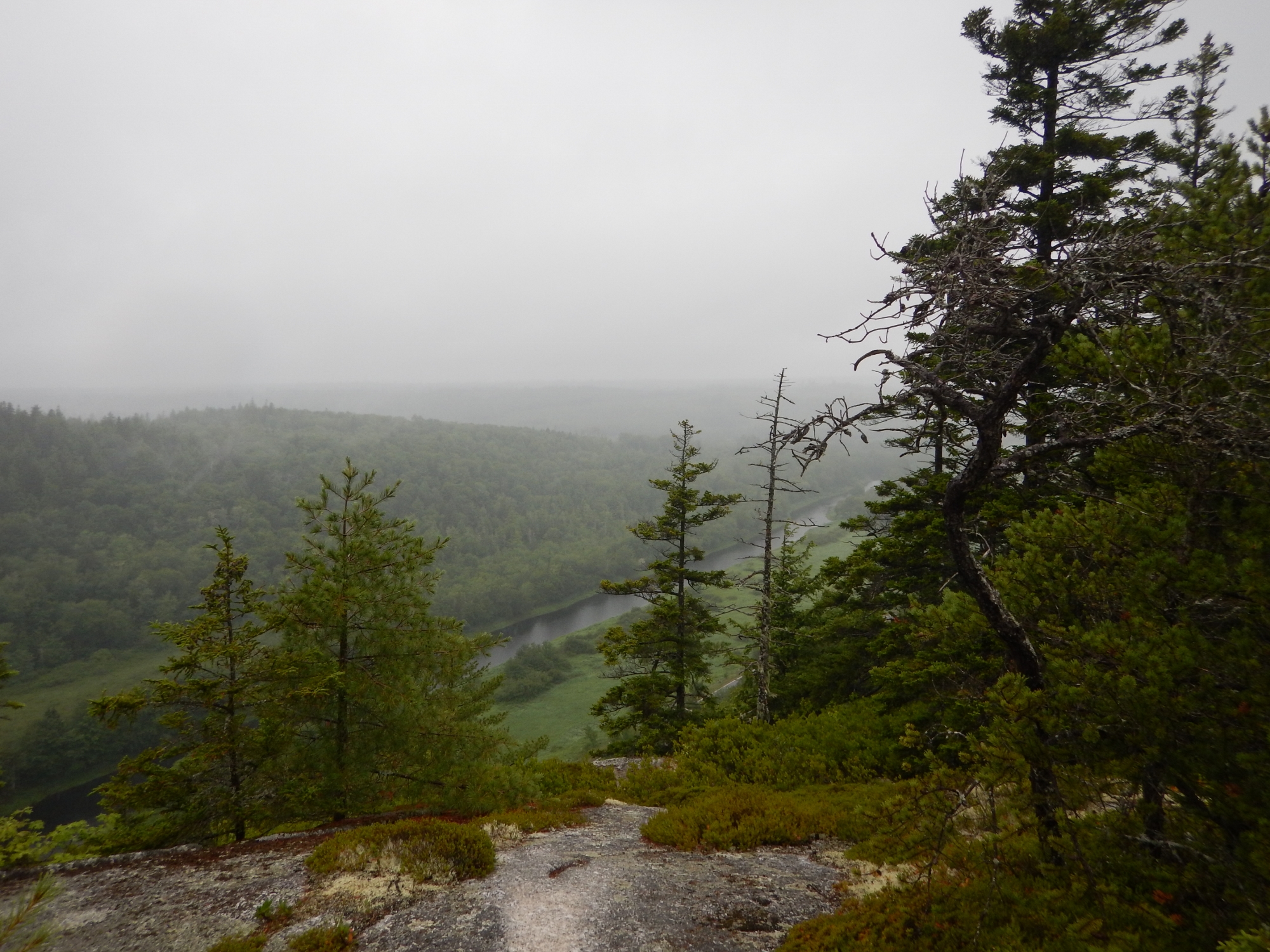
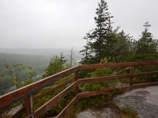
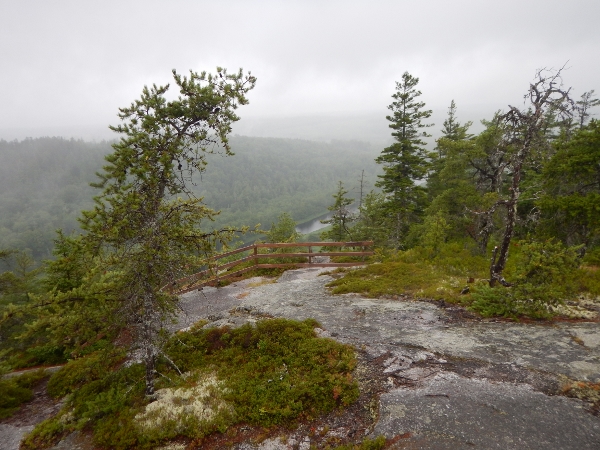
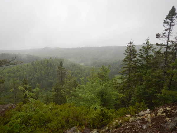
After a few moments on the Rail Trail we reached the turnoff marking the start of the Gibraltar Loop. This is rated as a 1.5km moderate trail. There appeared to be some trail work underway in this area and at one point near the beginning of the climb we missed a sharp turn and followed flagging tape for a few minutes before realizing our error. The climb is not overly strenuous and it quickly reaches the ridge with great viewpoints down to the Rail Trail and Musquodoboit River and valley below. The trails are in great shape despite not appearing to get a lot of use. It didn’t take long to reach the junction with the North Granite Ridge trail and we continued along the ridge. It was a misty day between rain showers, and our pictures don’t remotely capture the expansive views which are usually present from the lookoffs.
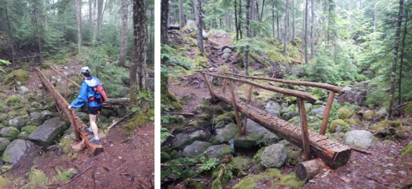
There is a great log bridge along one of the lower elevation areas of the North Granite Ridge trail.
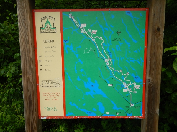
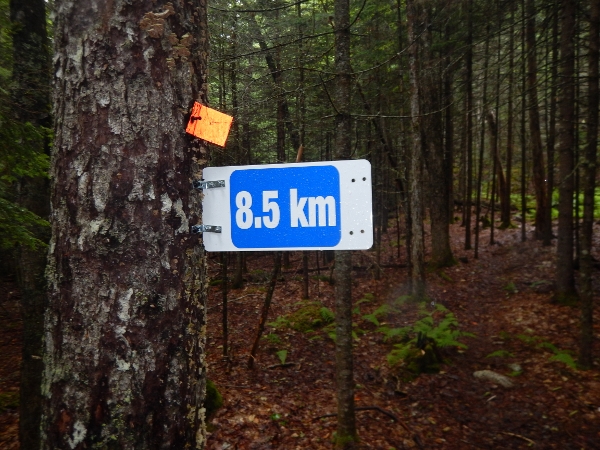
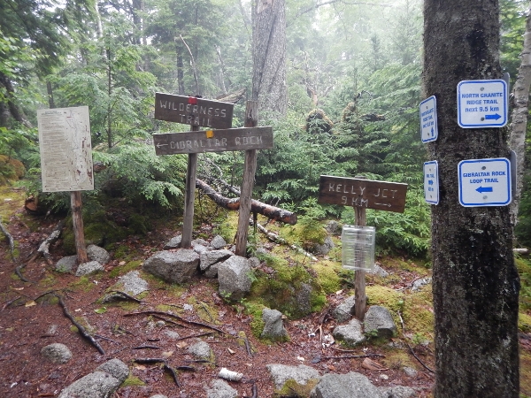
We have commented before about new signs along these trails. Clearly there are efforts underway to improve the signage, though this had produced an overwhelming number of signs in some locations, and there remain subtle differences between the signs and maps with respect to some of the trail names and precise starting/ending locations.
We were basically soaked by the time we reached the Rail Trail for the 7km walk back to the car, which meant we didn’t so much mind the last 20 minutes of drenching downpour. There were loud claps of thunder, but no lightning. Luckily we’d brought along a change of clothes and managed to not soak the entire inside of the car.
We are looking forward to getting back to hike the entire Wilderness trail system one of these days. The plan is either to have a car at each end, or to bring bikes along to make the Rail Trail portion less monotonous. Although it does have some lovely views, we both try to avoid the walking on flat gravel wherever possible.
These trails are definitely remote, but if you are an experienced hiker with knowledge and the appropriate gear, don’t let the popular warnings discourage you from giving them a try. If you haven’t been there before, perhaps start at the other end with the Admiral Lake loop (5.5km) to assess your comfort level. Though the North and South Granite Ridge trails are much longer and more remote, they are otherwise less technical and easier underfoot than the Admiral Lake loop.
